
Temperatures, ice coverage, sea level rise, weather patterns, species

Discussion Extended!
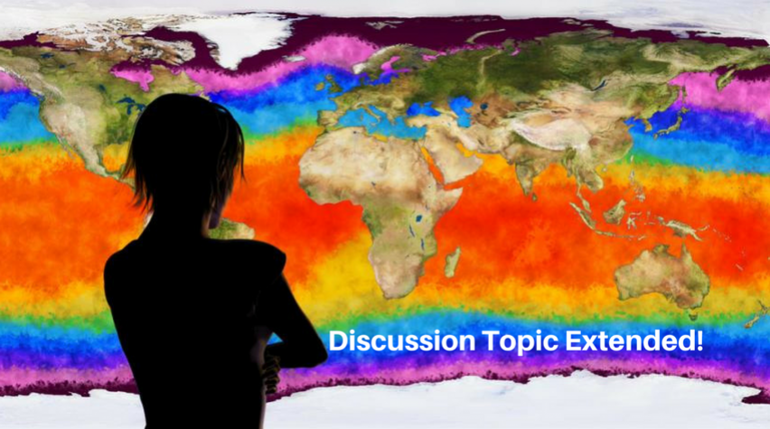
Due to the complexity of the issues and the recent productive exchanges, the PAIC Project Team is extending the second discussion topic for another seven days. This second discussion topic focuses on the validity of observed/measured data referenced in the Endangerment Finding (with links provided in the Welcome Blog, Resources and Tools, and the ChEnected blog, Validity of Observed/Measured Data I, Denial of Petitions for Reconsideration, Volume 1), specifically data for temperatures, ice coverage, sea level rise, weather patterns, and species. This second discussion topic will continue in the new PAIC Engage community for another week, to end on Tuesday, September 26, 2017.
This second discussion topic continues in the separate community we created for the PAIC discussions to avoid confusion and enhance clarity in the discussion. This discussion has been helpful in this regard, but participation does require actually joining the community – please join our community and contribute to the discussion! Here is where you can join the community.
Thank you, and we hope to see you there!
Topic description
This second topic dives into physical evidence of climate change, including discussion regarding validity of observed and measured data regarding temperatures, ice coverage, sea level rise, weather patterns and species. For this topic, AIChE members might refer to EPA’s discussion in its Denial of Petitions for Reconsideration, Volume 1 as well as the following sources.
Background reading and resources
Surface and lower troposphere temperature records
- HadCRUT4 including surface temperature data beginning in 1850, produced by the UK Met Office Hadley Centre and the University of East Anglia’s Climatic Research Unit.
- GISTEMP surface temperature data beginning in 1880, maintained by the NASA Goddard Institute for Space Sciences.
- MLOST, surface temperature data also beginning in 1880 (including land and ocean data) maintained by the National Oceanic and Atmospheric Administration (NOAA).
- Angell’s Weather balloon (radiosonde) report with data from 1950 to 2010 (Angell, J.K. 2011). Global, hemispheric, and zonal temperature deviations derived from radiosonde records. In Trends Online: A Compendium of Data on Global Change. Carbon Dioxide Information Analysis Center, Oak Ridge National Laboratory, U.S. Department of Energy, Oak Ridge, Tennessee, U.S.A. doi: 10.3334/CDIAC/cli.005) (based on a global network of 63 radiosonde stations)
- University of Alabama in Huntsfille (UAH) and Remote Sensing Systems (RSS). Up-to-date UAH satellite lower troposphere temperature data that includes the entire record from 1978 onward (from Dr. Roy Spencer and Dr. John Christy).
- The full RSS satellite record.
Ice coverage, sea level rise, weather patterns
- “Sea ice extent sinks to record lows at both poles”
- “Global Glacier Change Bulletin, Bulletin No. 1 ( 2012-2013)"
- “Land Ice”
- “Sea Level”
- “Frost-Free-Season”
Species
Migration of species See e.g., “Non-native and native organisms moving into high elevation and high latitude ecosystems in an era of climate change: new challenges for ecology and conservation."
Of course, these are just references to kick off the discussion. Please include your sources when participating, but refer to rules before you do.
Engage discussion posting rules
Also remember the rules for posting in the initial welcome blog post. This topic will be open for two weeks. The next discussion will focus on data validity, with input sought regarding validity of observed and measures data for greenhouse gas concentrations.